
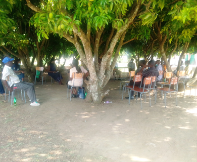
Water Supply Sanitation and Hygiene Management
GIS and remote sensing in Water Resources Management and WASH
Information is processed from facts and figures. In a Geographical Information System (GIS), data is given a spatial dimension and interpretation of results is enhanced which improves programming for target based interventions.
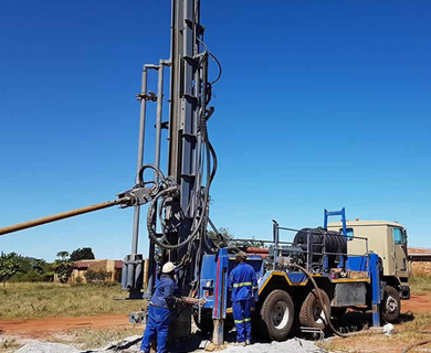
Groundwater Surveillance, Borehole Drilling and Supervision- Theory and Practice
Groundwater is a strategic resource supplying water for domestic use, industry, irrigation and livestock for most African countries including Zimbabwe.
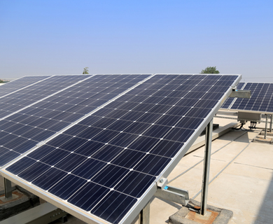
Operation and Maintenance of Solar Powered Water Supply Systems
Solar technology has been introduced in Zimbabwe’s urban and rural water supply programmes.